QGIS 101
Robin Tolochko
@tolomaps
robin.tolochko@gmail.com
www.tolomaps.com
Thanks to
For your resources
what is qgis and why should i care?
geographic information system
(in other words, it's software that allows you to open geographic files, edit them, analyze them, and make maps)
FREE
That's generally good, right?!
OPEN-SOURCE
Also generally good
Let's get to know the interface
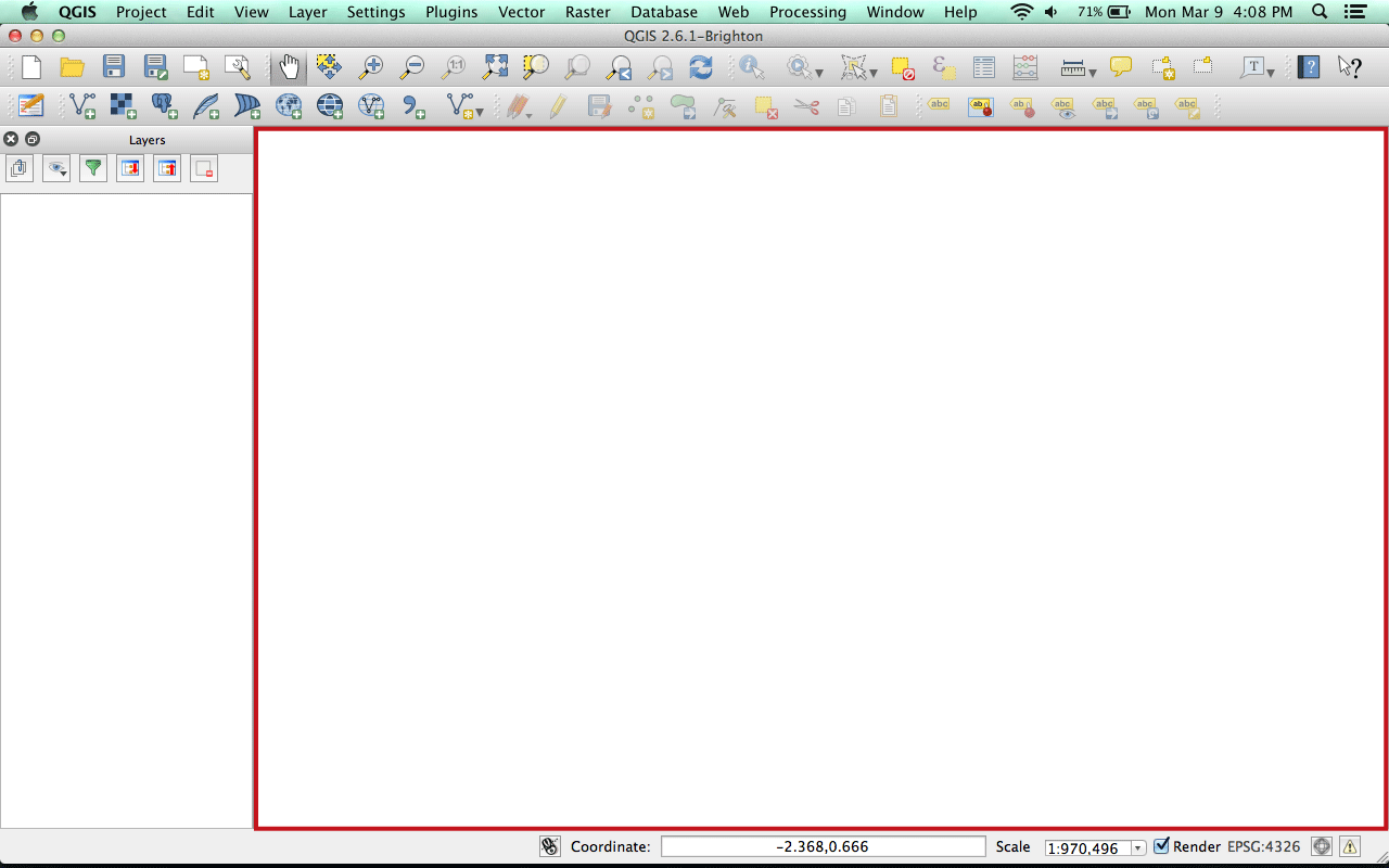
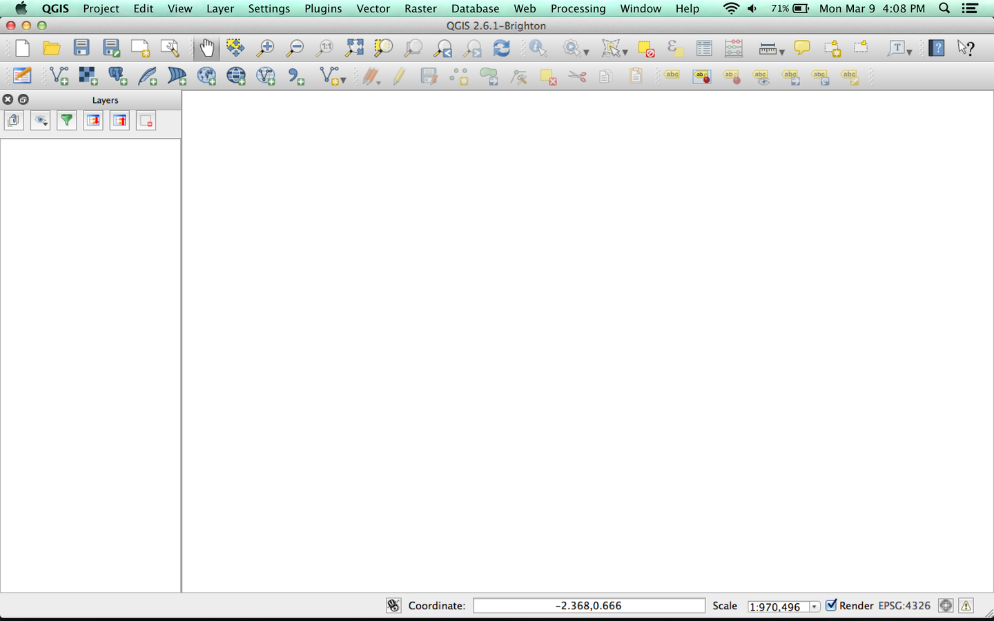
Map view
Manage Layers
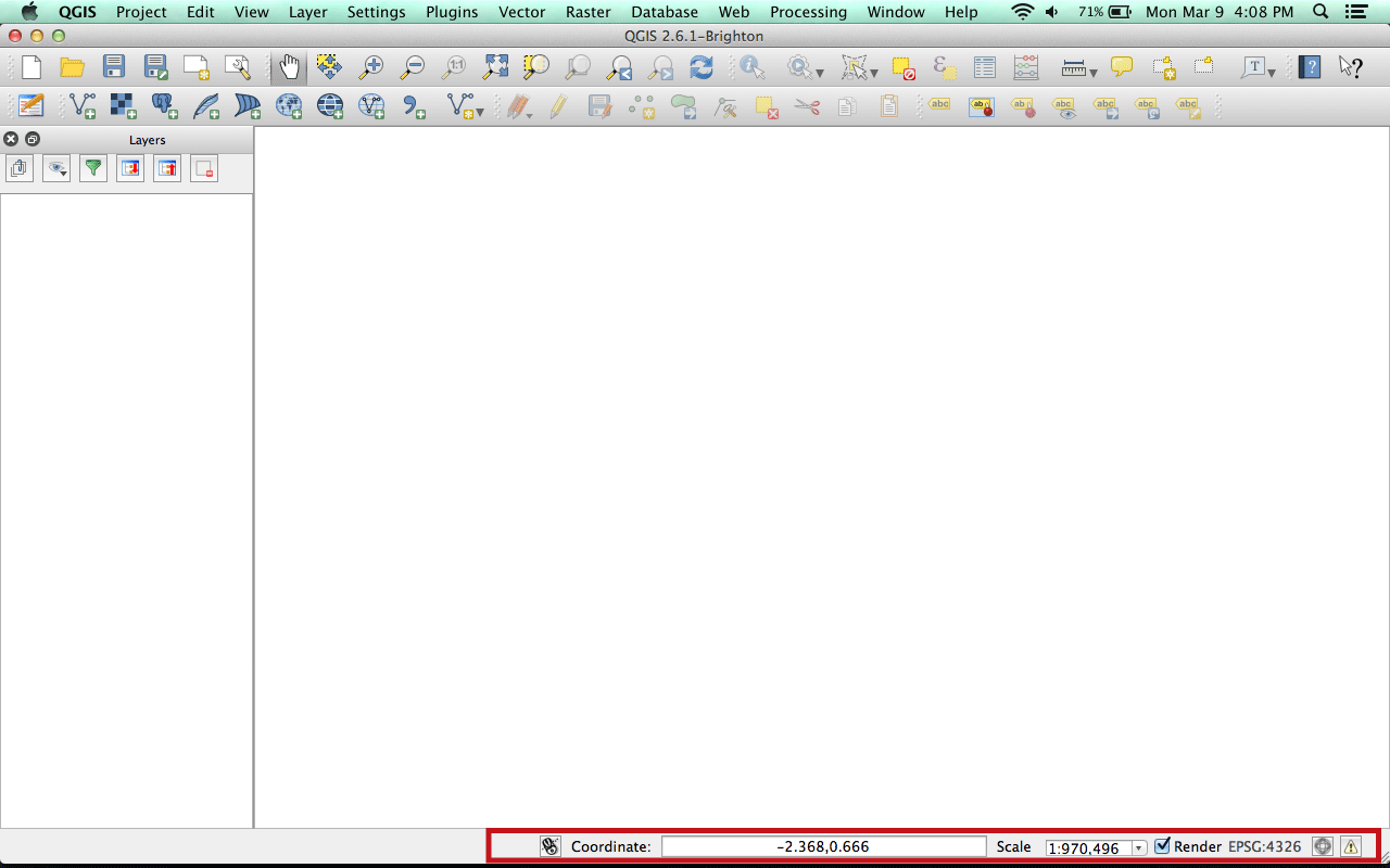
Status bar

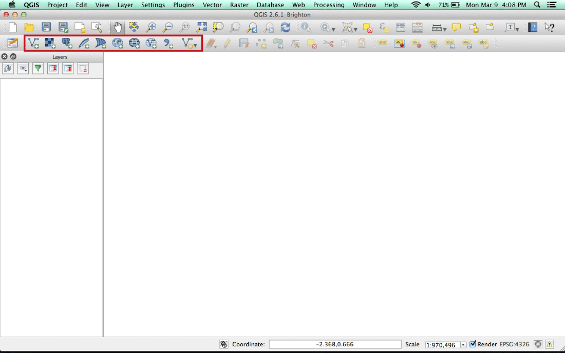
Tool bars
(Yours might look slightly different.
That's OK.)
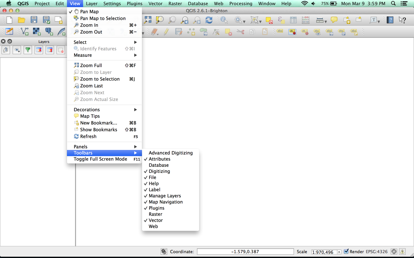
Adding/Removing Tool Bars
let's make a map!
But wait, what are we making a map of?
Before we can make a map, we need to get data.
Great for general reference data
Lots of worldwide datasets used in development
(with decent data from previous years, too)
Downloads:
Countries (from Natural Earth)
GDP per capita (original link from World Bank here)
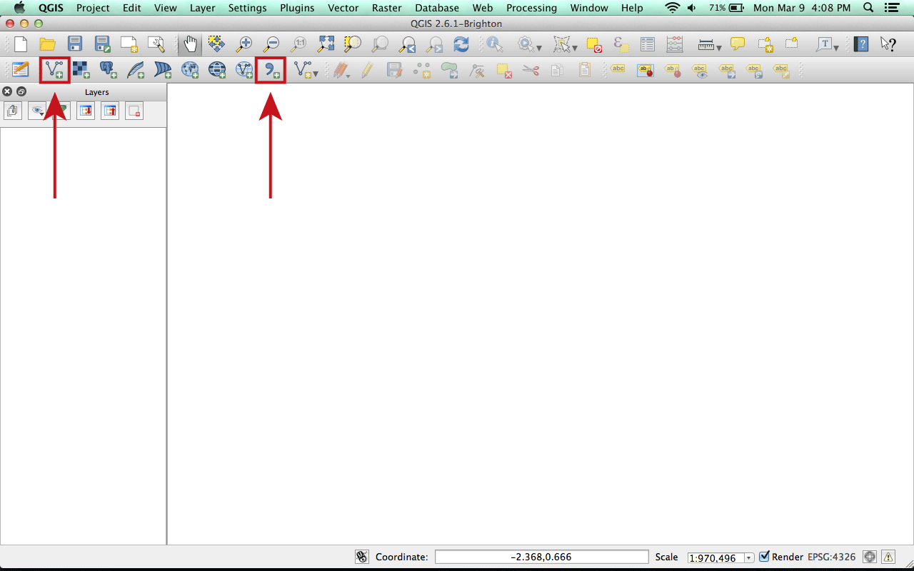
Adding data
1. Add vector data
(countries)
2. Add CSV data
(GDP per capita)
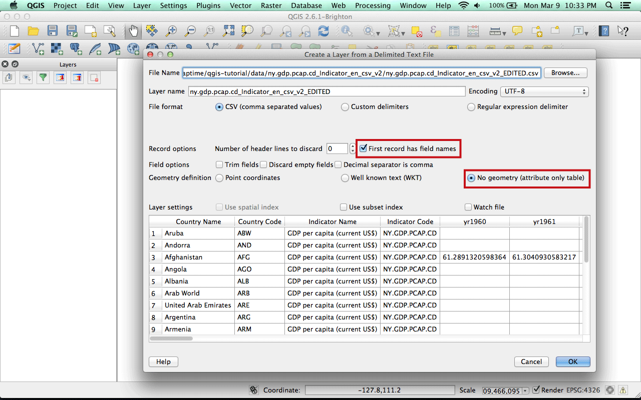
Adding your CSV
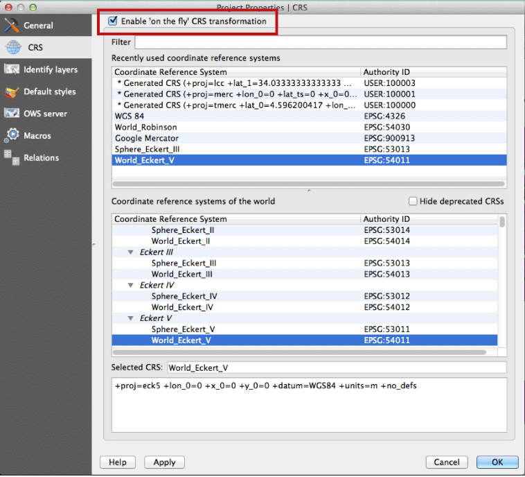
Projections
Now we need to connect our GDP data to our map data.
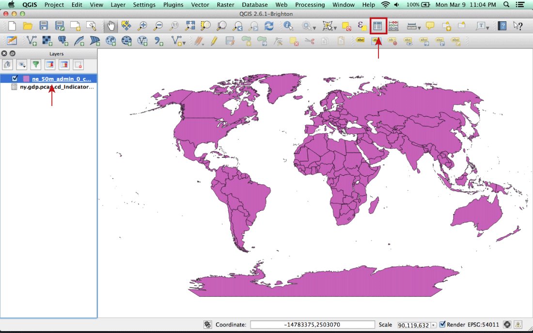
Examine our attribute tables
Open Attribute Table button
Right-click on the layer
--> Open attribute table
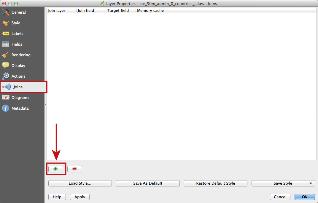
Adding a join
Add Join
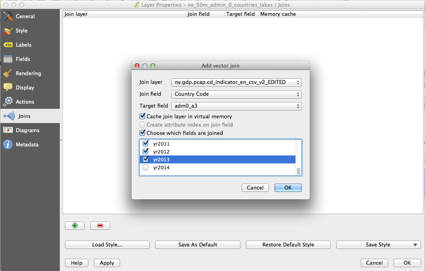
Adding a join, part 2
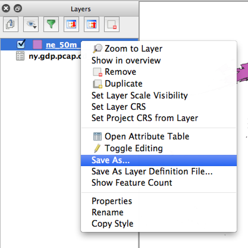
Save your new, joined file and add it to the map
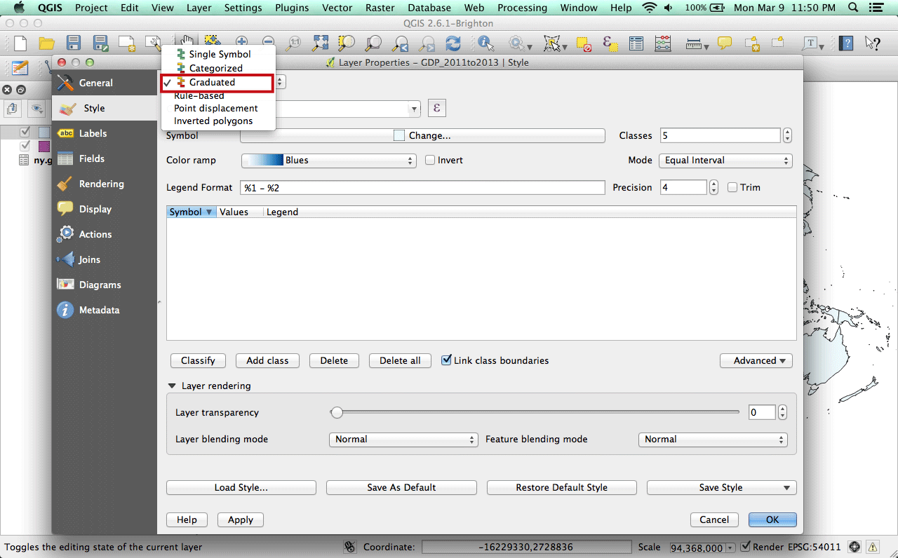
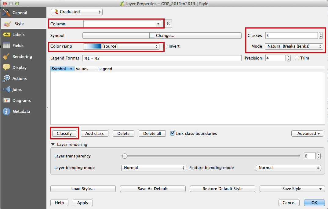
Styling the map
#1
#2
#3
#4
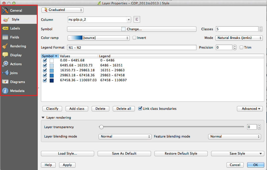
Explore the other properties
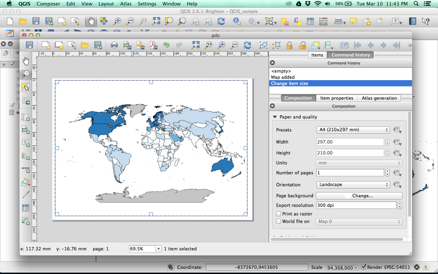
Exporting your map: Print Composer
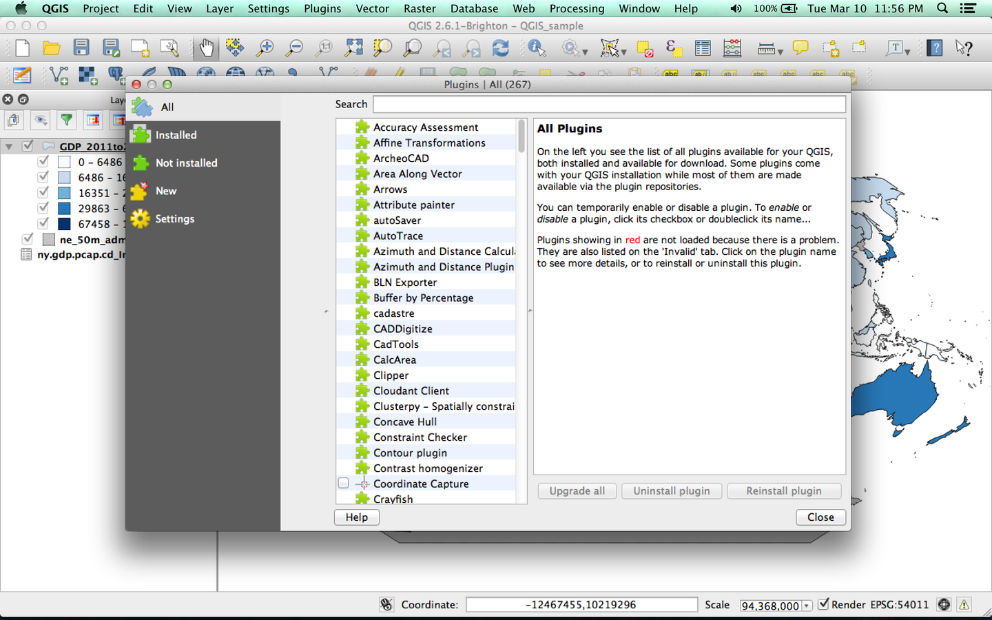
One of the pros + cons of QGIS: Plugins
now go forth and make maps!
But don't be afraid to ask for help.
We are happy to answer questions here, and there are also wonderful online resources:
GrACIAS.
Thanks to MaptimeHQ for your support and inspiration.
Thanks again to Mike Foster from Maptime Boston for your QGIS presentation.
And, of course, thanks to CartoDB for the free pizza.
qgis
By tolomaps